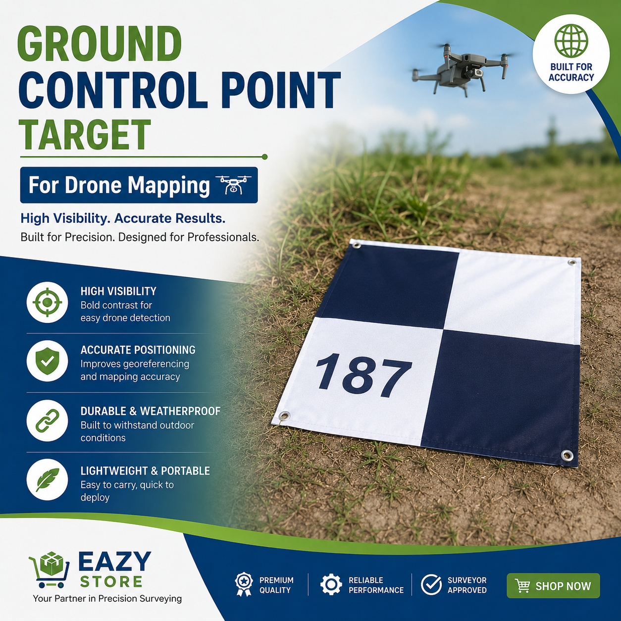
GCP Targets (50+ E-Copies available) Print Anywhere in the World

Download your ready-made E-Copy Ground Control Point (GCP) Target for Drone Mapping 🌍
Improve the accuracy of your drone surveys with our high-visibility Ground Control Point (GCP) Target. Designed for photogrammetry, topographic mapping, construction monitoring, and geospatial projects, this durable target ensures precise georeferencing and reliable survey results.
✅ High-contrast design for easy drone detection
✅ Weather-resistant and durable material
✅ Lightweight, portable, and easy to deploy
✅ Ideal for drone mapping, GIS, surveying, and engineering projects
Download and Print Anywhere Anytime!
Additional Packages: Free Intra-state delivery. Discounted price for bulk orders above 100+ copies.
Get professional-grade mapping accuracy with every flight.
📍 Available now at Eazy Store 🌍 Your Trusted Partner in Precision Surveying.