Downloadable
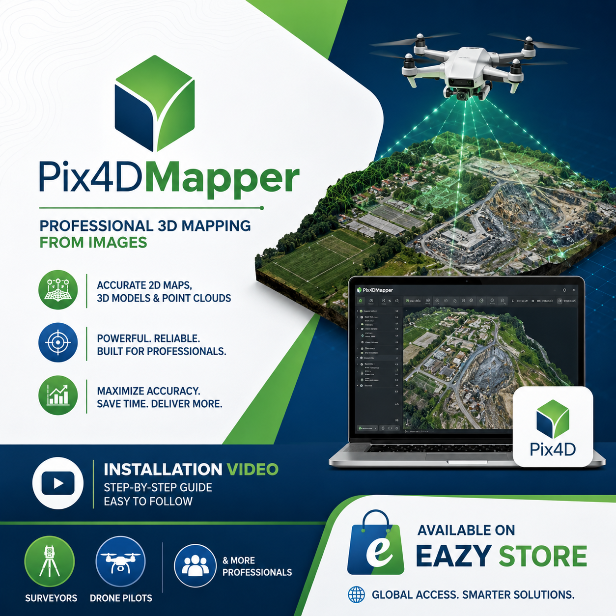
Pix4DMapper Enterprise

(0 Ratings)
1
$7.53$18.82
Disclaimer: This is not an unauthorised setup .exe. it is solely for educational purposes/guidance only.
Pix4DMapper Installation Video Guide
Unlock the power of professional drone mapping with Pix4DMapper! This package is designed for Surveyors, Drone Pilots, GIS Professionals, Engineers, and Mapping Enthusiasts.
✅ Generate accurate orthomosaics, DSMs, DTMs, point clouds, and 3D models.
✅ Easy-to-follow installation tutorial included.
✅ Ideal for topographic surveys, construction projects, mining, agriculture, and geospatial analysis.
Available now on Eazy Store 🌍 — your trusted source for geospatial tools, tutorials, datasets, and surveying resources.