Downloadable
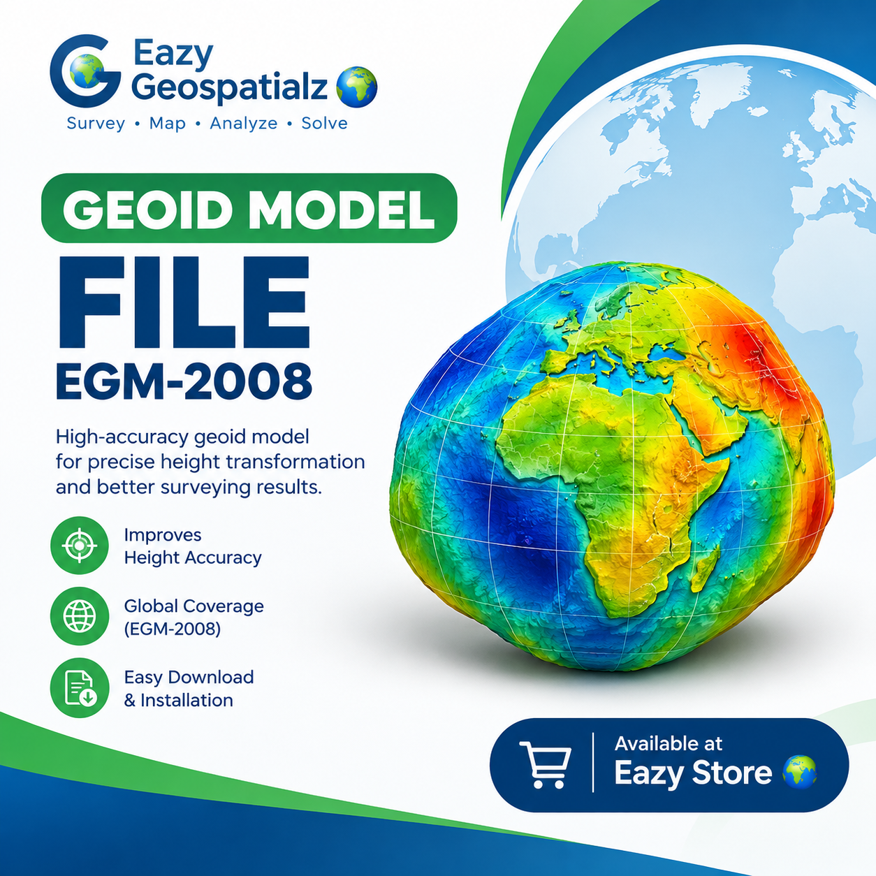
GEOID MODEL FILE (EGM-2008)

(0 Ratings)
1
$3.00
🌍 GEOID MODEL FILE — EGM-2008
Improve your surveying accuracy with the EGM-2008 Geoid Model File!
Get a reliable geoid model for height transformation, GNSS/RTK surveying, mapping, and geospatial applications. The EGM-2008 model helps surveyors work with more meaningful orthometric heights and improve their survey workflows.
Perfect for:
- 📍 Land Surveyors & Geomatics Professionals
- 🛰️ GNSS/RTK Surveying
- 🗺️ GIS & Mapping Professionals
- 🚁 Drone Mapping & Photogrammetry
- 🏗️ Civil Engineering & Construction
✅ What You Get
✔️ EGM-2008 Geoid Model File
✔️ Suitable for geospatial height transformation workflows
✔️ Digital download
📥 Get your EGM-2008 Geoid Model File today and enhance your GNSS surveying workflow.
🌍 Available now at Eazy Store