Downloadable
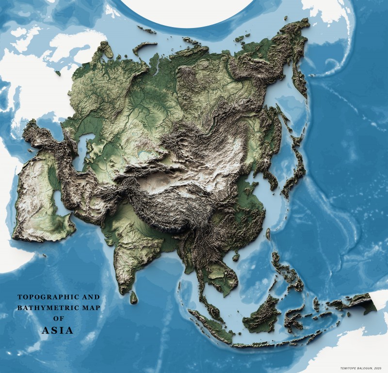
Topographic and Bathymetric Map of Asia
(0 Ratings)
1
$17.00
Asia's topography is defined by vast mountain ranges like the Himalayas, plateaus, and plains. Bathymetry reveals deep ocean trenches, such as the Mariana Trench, and extensive continental shelves.
IMPORTANT OF HAVING 3D RELIEF MAP
- Better Visualization: Shaded relief maps offer a three-dimensional view, making it easier to grasp the terrain's shape and features.
- Enhanced Planning: Ideal for planning outdoor activities such as hiking, camping, and land development by presenting a realistic view of the terrain.
- Educational Value: They aid in teaching geography and earth sciences by visually demonstrating the structure of landforms.
- Aesthetic Quality: These maps are visually appealing and can serve as decorative pieces, showcasing the natural beauty of landscapes.
AVAILABLE SIZE: 24inches x 24inches
AVAILABLE FORMAT: PNG and JPEG
Do you want another Size different from the available size?
Do you want another format different from the available format?
Do you want a custom map?