Downloadable
DRONE DATASETS (Surveyors, Civil Engineers, GIS Analyst et al)

(0 Ratings)
1
$3.00$7.53
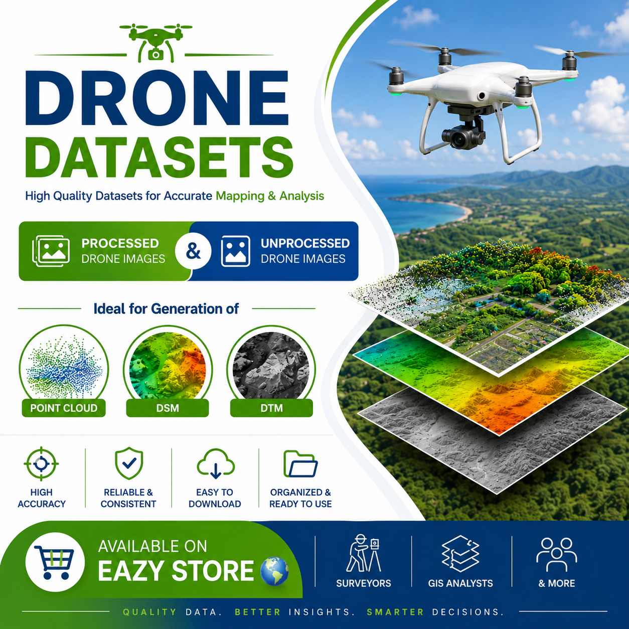
Drone Datasets for Surveyors & GIS Professionals! 🌍
Take your drone mapping and photogrammetry projects to the next level with our premium Processed & Unprocessed Drone Datasets. Perfect for generating Point Clouds, DSMs, DTMs, Orthomosaics, and mastering drone data processing workflows.
✅ Real-world drone imagery
✅ Ready for training, practice, and research
✅ Ideal for Surveyors, GIS Analysts, Drone Pilots, Students & Researchers
✅ High-quality datasets for accurate mapping and analysis
Whether you're learning photogrammetry, testing software, or building professional mapping products, these datasets provide the foundation you need.
📥 Available now on Eazy Store 🌍 — Quality Data. Better Insights. Smarter Decisions.