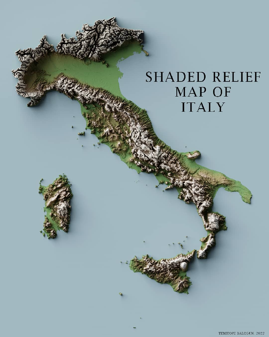
Shaded Relief Map Of Italy
The topography of the contiguous United States is varied. The east has the Appalachian Mountains, and the center is covered by the Great Plains. The west features the Rocky Mountains and Sierra Nevada. Coastal plains are along the Atlantic and Gulf coasts, while the Pacific coast has cliffs and mountains. Major rivers like the Mississippi and Colorado, along with large basins and plateaus, shape the landscape.
IMPORTANT OF HAVING 3D RELIEF MAP
- Better Visualization: Shaded relief maps offer a three-dimensional view, making it easier to grasp the terrain's shape and features.
- Detailed Topography: They emphasize elevation changes and landforms like mountains, valleys, and plateaus, providing a clearer understanding of the landscape.
- Enhanced Planning: Ideal for planning outdoor activities such as hiking, camping, and land development by presenting a realistic view of the terrain.
- Educational Value: They aid in teaching geography and earth sciences by visually demonstrating the structure of landforms.
- Aesthetic Quality: These maps are visually appealing and can serve as decorative pieces, showcasing the natural beauty of landscapes.
AVAILABLE SIZE: 24inches x 18inches
AVAILABLE FORMAT: PNG and JPEG
NOTE: You will get the shaded relief map without title. why? you might want to have your own customize title on the map.
Do you want another Size different from the available size?
Do you want another format different from the available format?
Do you want a custom map?