Downloadable
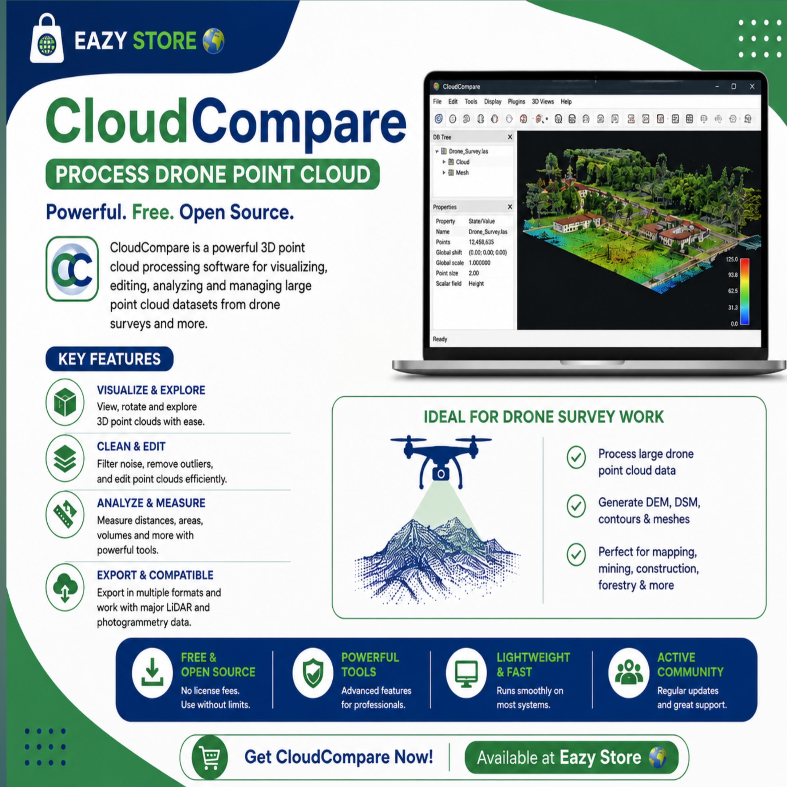
CloudCompare App (Point Cloud Processing software)
(0 Ratings)
1
Free$3
🚀 Turn Drone Data into Accurate Survey Results with CloudCompare! 🌍
Unlock the full potential of your drone point cloud data with CloudCompare, the trusted software for visualization, editing, analysis, and 3D point cloud processing.
✅ Process large drone point clouds with ease
✅ Generate DEMs, DSMs, contours & meshes
✅ Clean, classify, and analyze LiDAR data
✅ Ideal for Surveyors, GIS Professionals, Engineers & Drone Pilots
Boost your productivity with the right tools.
Available now at Eazy Store 🌍
Smart Tools. Smarter Surveying.